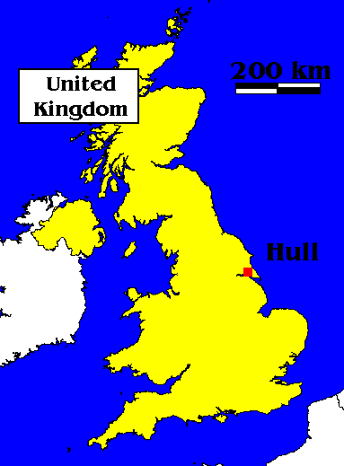
LocationThe city of Kingston upon Hull is situated on the northern shore of the Humber Estuary, United Kingdom. Although the administrative boundaries are very tightly drawn, the conurbation extends westwards to include the East Riding of Yorkshire villages of Hessle, Anlaby, Willerby and Cottingham. For the purposes of this study these villages, along with the smaller East Riding settlements of Wawne, to the north and Bilton to the north west, have been included within the survey area.The city and port of Hull grew from the small settlement of Wyke, near to the confluence of the Rivers Hull and Humber. This land was purchased in 1293 by King Edward I from the Monks of Meaux Abbey and became the King's Town or Kingston upon Hull. Throughout the Middle ages it continued as a relatively small but thriving city. The first dock was completed in 1778 and its population, which had by then risen to over 15000, commenced to settle on land outside the town walls, which were soon to be demolished (Wild 1990). By the early years of the 20th century the population had risen to almost 300,000 and the surrounding settlements of Myton, Sculcoates and Drypool had been engulfed. Although the population of the city has never risen much above this, its boundaries have increased rapidly with the demolition of old high density housing and the creation of new housing estates further from the centre. Despite its regal title, the city has long been known to its inhabitants simply as "Hull". This shorter and more convenient convention will be maintained throughout this document. |
|
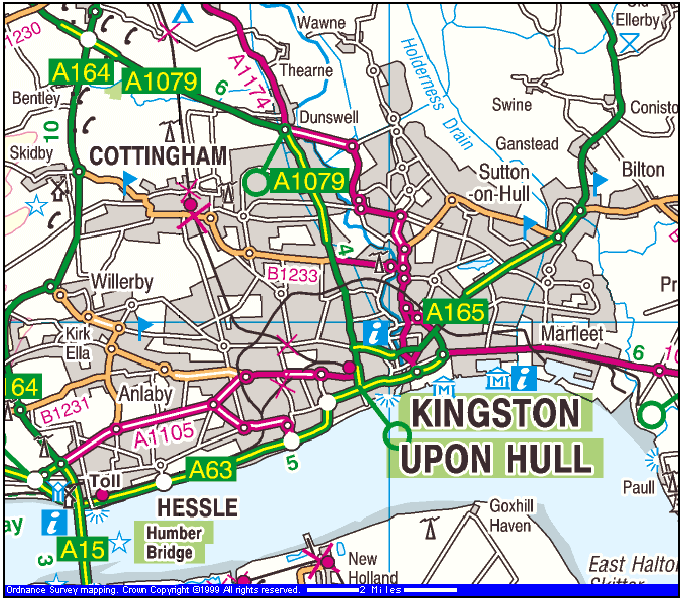 |
| Image produced from the Ordnance Survey Get-a-map service. Image reproduced with kind permission of Ordnance Survey and Multi Media Mapping |